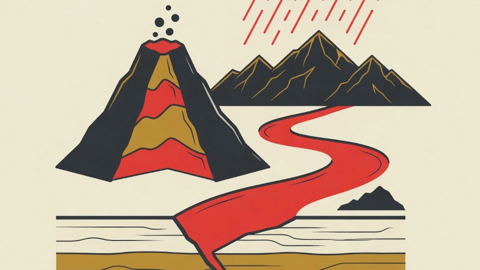
How to understand physical geography for UTBK begins by linking the five geosphere layers (lithosphere, atmosphere, hydrosphere, biosphere, pedosphere) through cause and effect, then practicing them on real-phenomenon questions. This approach prepares you for a reasoning-heavy TKA geography, turning rote memory into understanding you can apply.
- The five geosphere layers are understood as one interconnected system
- Every concept is practiced on real HOTS-style cases
- Physical maps become a tool for reading a question's situation
- Grade 10 high school geography textbook (geosphere dynamics)
- Physical map of Indonesia and a world atlas
- Recent set of HOTS geography UTBK questions
- A cause-and-effect journal linking phenomena
Key figures for physical geography in UTBK
Why physical geography demands reasoning over recall
Physical geography studies natural phenomena on the earth's surface: landforms, weather and climate, water bodies, soil, and the distribution of living things. This material forms the backbone of TKA geography because many everyday phenomena emerge from interactions between layers. A flash flood, for instance, ties together heavy rainfall (atmosphere), slope conditions (lithosphere), soil absorption (pedosphere), and river flow (hydrosphere). The 2026 TKA geography format emphasizes higher order thinking. Test-takers are asked to read a situation, weigh the causes, then draw a conclusion. Memorizing definitions still helps as a foundation. The real value appears when you can explain why a phenomenon happens and what its impact is. An effective way to understand physical geography for UTBK places cause and effect at the center of practice from day one.
Steps to understand physical geography for UTBK
These six steps build physical geography from concept foundations toward the ability to answer analysis questions. Work through them in order so every geosphere layer connects cleanly.
- 1
Map the five geosphere layers as one system
Start with the big picture. Make a single concept map that places the lithosphere, atmosphere, hydrosphere, biosphere, and pedosphere in one frame, then draw lines between layers that influence one another. The lithosphere provides the landforms where water flows. The atmosphere delivers rain that fills rivers and lakes. The pedosphere, as the soil layer, is where rock, water, and air meet. Understanding physical geography for UTBK grows lighter when these five layers read as a network of chapters that connect. Pin this concept map at your study desk and update it whenever you find a new link.
Tips- Use a different color for each layer so connections are easy to trace
- Write one real phenomenon on each connecting line
- 2
Master the lithosphere through its chain of processes
The lithosphere covers the forces that shape the earth's surface, rock types, plate tectonics, volcanoes, and earthquakes. Study each topic from its chain of processes. For example: two plates collide to form a subduction zone, magma rises, a chain of volcanoes forms, and an earthquake-prone region remains. Indonesia is a natural laboratory because it sits at the meeting of three major plates. Tie each concept to a real location such as the Pacific Ring of Fire or active faults on Java Island. When a concept sticks to a real place, memory lasts longer and analysis questions feel familiar.
Tips- Connect rock types (igneous, sedimentary, metamorphic) to their forming processes
- Practice reading disaster-risk maps as an application of the lithosphere
Avoid memorizing volcano names without understanding the volcanism behind them, because HOTS questions ask you to explain causes. - 3
Understand the atmosphere through its layers and weather elements
The atmosphere is arranged in five stacked layers: the troposphere where weather happens, the stratosphere with the ozone layer, the mesosphere that burns up meteors, the thermosphere where auroras appear, and the exosphere as the outermost boundary. Once the layers are known, dive into weather and climate elements: temperature, air pressure, wind, humidity, clouds, and rainfall. Understand how pressure differences drive wind, and how latitude and altitude shape climate patterns. Indonesia's humid tropical climate, for example, arises from its equatorial position and monsoon influence. Practice reading simple weather data so atmospheric concepts come alive.
Tips- Build a compact table of the five atmospheric layers with their traits
- Link monsoon winds to the rainy and dry seasons in your area
- 4
Trace the hydrosphere from the water cycle to water bodies
The hydrosphere studies all of the earth's water: seas, rivers, lakes, groundwater, and water vapor. Use the hydrological cycle as your entry point. Water evaporates from the sea, forms clouds, falls as rain, seeps into the soil, and flows back to the sea. From this cycle many topics branch out: watersheds, types of lakes, ocean currents, and groundwater potential. Connect each topic to the atmosphere and lithosphere you have studied, because rain comes from the atmosphere and river shapes are carved by the lithosphere. This connecting habit of thought is exactly what TKA geography analysis questions test.
Tips- Redraw the hydrological cycle from memory every few days
- Study the role of ocean currents on coastal-region climate
- 5
Weave in the pedosphere and biosphere to close the system
The pedosphere covers soil: formation processes, soil horizons, types, and fertility. The biosphere studies the distribution of flora and fauna along with the factors that shape it. These two layers bind the previous four. Fertile soil forms from weathered rock (lithosphere), a water supply (hydrosphere), and a suitable climate (atmosphere). The spread of tropical rainforest in Indonesia ties to high rainfall and supportive soil. As you study these two closing layers, revisit the concept map from the first step and complete its connecting lines. The geosphere system is now whole and ready to be tested on questions.
Tips- Link soil types to parent rock and local climate
- Understand biomes as the product of climate and soil interaction
- 6
Practice real-phenomenon HOTS analysis questions
Once the five layers are connected, move to questions that demand reasoning. Choose a recent set of geography UTBK questions and work through them by dissecting: identify the phenomenon, name the geosphere layers involved, order the cause and effect, then conclude. After finishing, review every wrong answer and trace the concept that is not yet solid. Keep notes of your error patterns so the next practice round is more focused. Working a small number of questions consistently each day builds the analytical habit TKA geography needs. Understanding physical geography for UTBK reaches its peak when you can read a new question calmly and in order.
Tips- Work questions while naming the geosphere layers involved out loud
- Save a bank of missed questions and repeat them a week later
Do not jump straight to questions before the five-layer concept map is built, because analysis without a foundation goes wrong easily.
Profiles of the five tested geosphere layers
Lithosphere
The rock and landform layer. Core topics: plate tectonics, volcanism, earthquakes, and rock types.
Atmosphere
The air layer. Core topics: the five atmospheric layers, weather elements, climate types, and monsoon winds.
Hydrosphere
All water on earth. Core topics: hydrological cycle, watersheds, lakes, groundwater, and ocean currents.
Pedosphere
The soil layer. Core topics: soil formation, horizons, soil types, and fertility.
Biosphere
The distribution of living things. Core topics: flora and fauna distribution factors, biomes, and biotic zones.
Geosphere interaction
Where all five layers meet. Core topics: floods, landslides, drought, and disaster mitigation.
Rote learning compared with reasoning-based learning
| Aspect | Rote pattern | Reasoning pattern (recommended) |
|---|---|---|
| Focus | Memorizing definitions and lists | Understanding processes and cause-effect |
| Reading a question | Hunting for matching keywords | Dissecting phenomena across layers |
| Physical map | An object to memorize | A tool to read situations |
| Memory durability | Fades quickly near the exam | Lasts because it connects to context |
The 2026 TKA geography emphasizes analysis of real phenomena, so the reasoning pattern fits its question format better.
“Test-takers who understand physical geography as one system stay calmer with new questions, because they read the phenomenon instead of guessing keywords. The habit of linking atmosphere, lithosphere, and hydrosphere is the most helpful asset in the exam room.”
Physical geography readiness checklist
- Can draw the five-layer geosphere concept map from memory
- Understand plate tectonics and its links to Indonesia
- Know the five atmospheric layers and their traits
- Can explain the hydrological cycle without notes
- Understand the link between soil, climate, and flora-fauna distribution
- Regularly dissect at least five geography analysis questions each week
- Physical geography is understood best as one connected geosphere system, starting from a five-layer concept map.
- The 2026 TKA geography emphasizes HOTS analysis of real phenomena, so cause-and-effect understanding helps more than loose memorization.
- Questions dissected in an orderly way, plus physical maps as a reading tool, prepare you to face new questions calmly.